
RODINIA
The conventional Rodinia supercontinental assemblage relies heavily on palaeomagnetic evidence to constrain a multitude of plate-
Late-
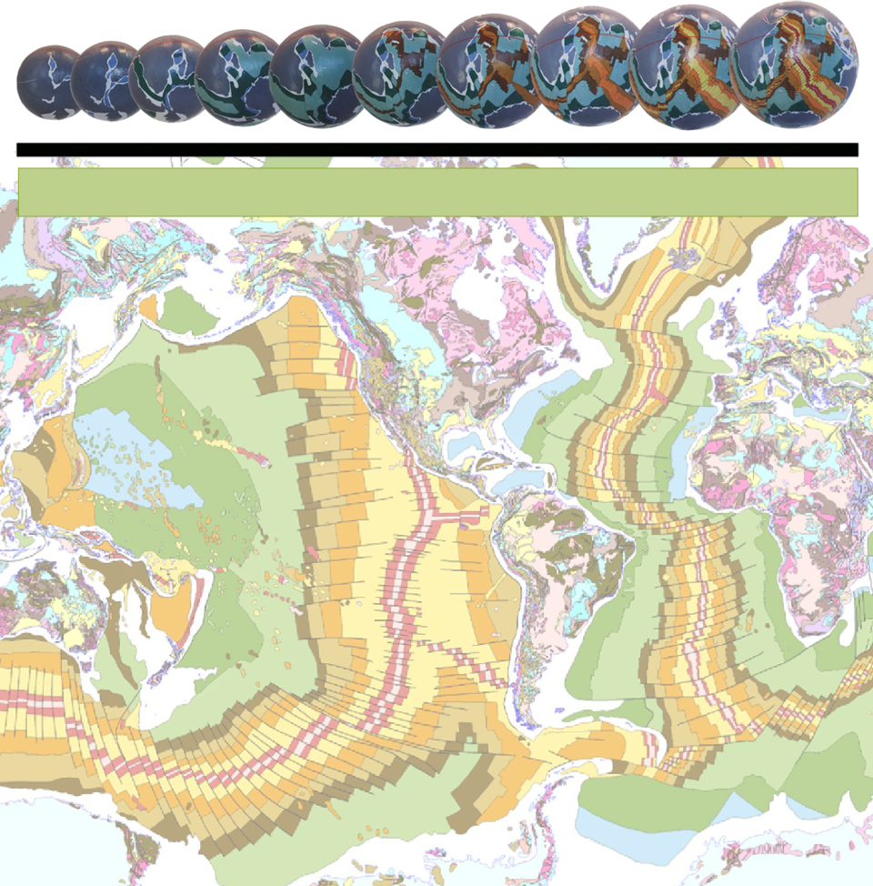
Rodinia on an Expansion Tectonic Earth is shown on the late-
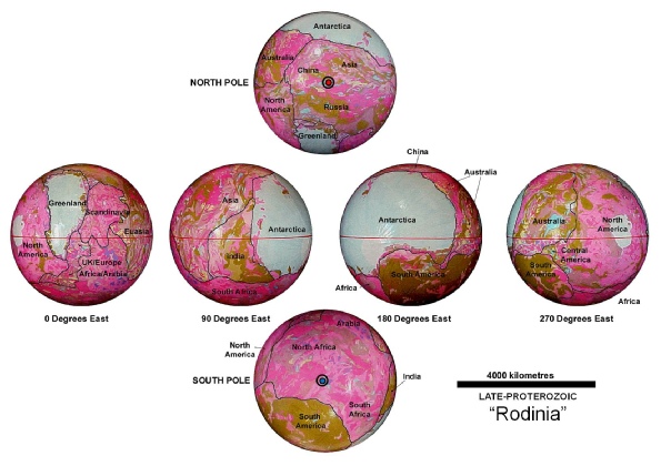
It is also inferred that the assemblage of each of the ancient Precambrian cratons shown on this model–red and pink coloured rocks—represent the exposed lands and similarly, the network of sedimentary basin rocks—khaki and brown coloured rocks—represent the ancient continental seas. These sedimentary basins are quite justifiable considering the very close agreement between coastal outlines and continental sedimentary basins which will be shown later for the younger small Earth reconstructions. The exposed lands shown in the figure agree, in part, with the conventional Rodinia continental assemblage except that extensive ancient oceans, as distinct from continental seas, are simply not required at the reduced Earth radius shown by this small Earth model.
Comparison of the Rodinia small Earth model with the primordial Archaean model shows that there is not a lot of difference between these two models. The location of the poles and equator are essentially the same and the distribution of the ancient cratons is also much the same. The final phase of the Archaean supercontinental development history was the formation of very large, stable sedimentary basins and shallow seas with a low elevation contrast between the lands and seas. This, in essence, is the only difference between the primordial Archaean and Rodinia supercontinents where these basins simply represent mature sedimentary basins that have been filled to capacity. Any erosion and input of sediment was then limited to mainly chemically-
The distinguishing feature of the Rodinia supercontinental history is that it coincides with a phase of steadily increasing surface area and Earth radius. What this means is that, as a result of the increasing Earth radius, increasing changes to surface curvature were starting to take effect which began to elevate the exposed lands and, in turn, also increased the elevation contrast between the lands and seas. This elevation contrast initiated an increased rate of erosion of the exposed lands, which also influenced changes to the distribution of seas and corresponding coastal outlines of the supercontinents. Once again, in Expansion Tectonics, it is these changes to the coastal outlines of the shallow seas that defines the shape and configuration of both the ancient seas and supercontinents.
Another distinguishing feature about the Rodinian times was the changing atmospheric conditions. These conditions changed from reducing conditions throughout much of the earlier Archaean times, to the accumulation of atmospheric oxygen during the Proterozoic. This transition was marked by an increasing accumulation of banded iron formation rocks—important sources of iron ores—and chemically precipitated calcium and magnesium carbonate rocks during this time. The transition also coincided with development and preservation of the earliest life forms, soon to explode in diversity during the following Gondwanan supercontinental times.
During late-
On subsequent, younger Expansion Tectonic small Earth models the early Rodinia assemblage represents a precursor to the better known Gondwana supercontinent and ultimately the Pangaea supercontinental configurations. As shown on the primordial Archaean and Rodinia small Earth models, the change from one supercontinent to another is progressive and evolutionary and this theme will follow through to the Gondwana and Pangaea supercontinents.
Small Earth modelling again shows that this progression of supercontinents is intimately related to the variation in coastal outlines during change in sea levels; not by random continental break-